2016–2019 · Machine learning in architecture
Reading Singapore’s streets
Deep learning on street-view images and fitness-tracking data to understand where people choose to walk and run.
- With
- B. Tunçer
- Outputs
- 4 publications
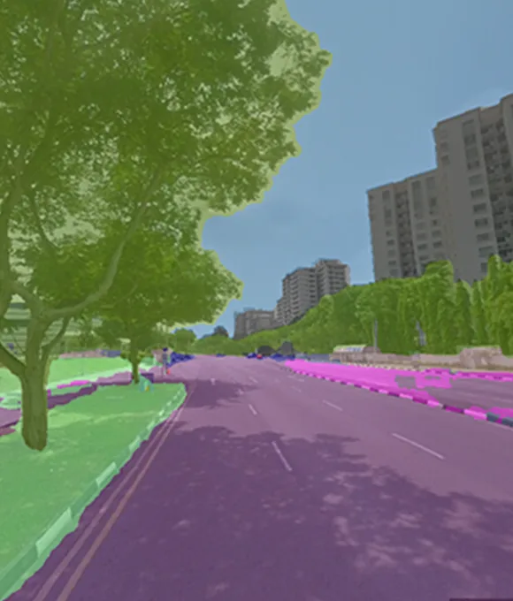
About the project
For my PhD at SUTD and the Future Cities Laboratory, scripts running on cloud instances collected street-view photos every 10 m across Singapore. A deep-learning model trained on the Cityscapes dataset extracted street features from every image.
Combined with fitness-tracking data from leisure walkers and runners, the features show how neighbourhood qualities relate to where people actually move.
Publications
- 2021 · Artificial Intelligence in Urban Planning and Design Fitness Tracking: Analyzing Walking Behavior from Urban Singapore
- 2021 · Journal of Computational Design Measuring Urban Activities
- 2017 · eCAADe 2017 Visualizing and Analysing Urban Leisure Runs by Using Sports Tracking Data
- 2016 · eCAADe 2016 Visualizing Urban Sports Movement
Next project Simulating caravanserai networks
→